Local guidesSouth Salt Lake ValleySandy
Sandy
Sandy is a large city in Salt Lake County, Utah, at the foot of the Wasatch Mountains, about 13 miles south of Salt Lake City. It began as a mining supply town and had 96,904 people at the 2020 census.
Where is Sandy, and what is it like?
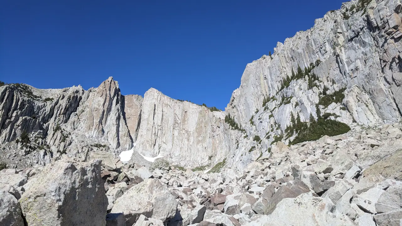
Sandy sits at the base of the Wasatch Mountains, 13 miles south of Salt Lake City. The city covers 22.4 square miles, nearly all of it land. The eastern part, where most homes are, climbs the slopes of the Wasatch Range. The western part lies on the valley floor. Interstate 15 and State Street run through the west side, and the Jordan River forms part of the western border with West Jordan and South Jordan.
At the 2020 census Sandy had 96,904 people. The median age was 36.7 years. About 25.4 percent of residents were under 18, and 15.1 percent were 65 or older. There were 33,453 households. Of those, 35.5 percent had children under 18, and 59.9 percent were married couples.
Where did the name Sandy come from?
Nobody knows for sure. The idea most people repeat is that Brigham Young named it for its thirsty, sandy soil, but there is no historical proof. Another story says the name came from a Scotsman nicknamed Sandy, Alexander Kinghorn, who drove the first train to this end of the valley. The early name was Sandy Station, which fits the story, but historians think it unlikely because the name appeared so soon after the trains began.
Before settlers came, nomadic bands of Paiute, Shoshone and Bannock people traveled along the base of the mountains. They moved between a winter home at Utah Lake and summer fishing grounds at Bear Lake. Permanent settlers arrived in the 1860s and 1870s, drawn by open land at the less crowded south end of the valley. The first plat, or town map, was about one square mile.
How did mining and the railroad shape Sandy?
Farmers tried the sandy soil along State Street, but mining shaped the town's first four decades. When silver mining began in Little Cottonwood Canyon, Sandy became a supply station. Its main street filled with hotels and saloons that served miners ready to spend their wages.
Three large smelters stood in Sandy, called the Flagstaff, the Mingo and the Saturn. For some years Sandy was the most important smelting center in the territory. A railroad built in 1873 linked Sandy to Salt Lake City and carried ore and other goods in and out. A streetcar line opened in 1907 so people could get to jobs in the city.
Sandy was incorporated in 1893. Many residents wanted to leave behind the rough side of a mining town. By 1900 the crowds of single, traveling men were gone, only a few saloons and hotels remained, and Sandy looked like other small Utah towns where everyone knew everyone.
How did Sandy grow into a big city?
In the late 1960s Sandy changed course. Leaders had always assumed the town would grow outward from the corner of Main and Center streets. Instead, new neighborhoods spread out in every direction. Through the 1970s small pocket communities formed, each with its own schools and shopping. Sandy and Salt Lake County also competed over who would control newly settled land.
Sandy was first seen as a bedroom community, and it still is by some. It has since built a busy business district along State Street and other main roads. Three well-known places are the Shops at South Town shopping mall, the Jordan Commons entertainment and dining complex, and the Mountain America Exposition Center.
Why is Sandy known for soccer?
America First Field is a soccer stadium on the west side of Sandy. It was called Rio Tinto Stadium until 2022, when a credit union bought the naming rights. It opened in 2008 and seats 20,213 for soccer. For concerts it can hold more than 25,000. Real Salt Lake, a Major League Soccer team founded in 2004, plays here, along with the Utah Royals of the National Women's Soccer League.
The stadium has hosted a number of big games. They include the 2009 MLS All-Star Game, the second leg of the 2011 CONCACAF Champions League final, and games of the 2013 CONCACAF Gold Cup. The United States men's team played its first match there on September 9, 2009, beating El Salvador 2 to 1. The U.S. women's team has played three games there as well. The field has also been used for rugby, including the 2011 USA Rugby Championship.
What are Sandy's schools like, and how do people get around?
The Jordan School District was Sandy's main district until 2009. In 2007 voters split it in two and created the Canyons School District, which began operating in the 2009 to 2010 school year. Canyons now serves Sandy. The city has 18 elementary schools, six middle schools and five high schools, plus a technical school and an alternative high school.
Salt Lake Community College has its Miller Campus in Sandy, with an automotive training center and a culinary institute. The University of Utah opened a continuing education campus for non-traditional students here in 2015.
Interstate 15 has three exits in Sandy, at 9000 South, 10600 South and 11400 South. State Street is US-89, and State Route 209 runs east to Alta Ski Resort. TRAX light rail has four stations in the city on the Blue Line: Historic Sandy, Sandy Expo, Sandy Civic Center and Crescent View. A ski bus runs in season from the Historic Sandy station to Alta Ski Area and Snowbird.
Find a local business in Sandy
Sandy is covered by the South Salt Lake Valley guide. Start with the businesses in Sandy itself, or look across the whole guide by what they do.
Businesses in SandyQuestions about Sandy
- Where is Sandy, Utah?
- Sandy is in Salt Lake County, about 13 miles south of Salt Lake City, at the foot of the Wasatch Mountains.
- What is the population of Sandy?
- The 2020 census counted 96,904 people.
- When was Sandy incorporated?
- Sandy was incorporated in 1893.
- How big is Sandy?
- The city covers 22.4 square miles, almost all of it land.
- Why is it called Sandy?
- No one knows for sure. One story says the soil was thirsty and sandy. Another says it was named for a train engineer nicknamed Sandy. Historians doubt both.
- What stadium is in Sandy?
- America First Field, which opened in 2008, is home to Real Salt Lake and the Utah Royals. It seats 20,213 for soccer.
- Which school district serves Sandy?
- The Canyons School District, which began operating in the 2009 to 2010 school year after voters split it from the Jordan School District.
- Is there a local business directory for Sandy?
- Yes. Sandy is covered by the South Salt Lake Valley guide from Local Business America. It lists local businesses in Sandy and the towns around it, and it is free to read.
- How do I list my business in Sandy?
- Open the South Salt Lake Valley guide and choose Claim your listing. If your business is not there yet, choose List your business. Claiming is free, and a person checks each claim.
- What does a business listing in Sandy cost?
- Every business has a free listing with opening hours, a map and a link to your website. Essentials is $19 a month and adds a photo gallery, an enquiry form and your Google reviews. Premium is $39 a month and adds a boost to the top of your category and a do-follow link to your website.