Local guidesMid-City & East San DiegoNormal Heights
Normal Heights
Normal Heights is a neighborhood inside the City of San Diego, California, on a mesa just south of Mission Valley and centered on Adams Avenue.
Where is Normal Heights, and what is it like?
Normal Heights is a neighborhood in the Mid-City part of the City of San Diego, in San Diego County, California. It is not a separate city. It sits on a mesa just south of Mission Valley. Interstate 805 is on the west, Interstate 8 on the north, State Route 15 on the east and El Cajon Boulevard on the south.
Foot traffic is high, as in other older mesa neighborhoods north of Balboa Park.
How did Normal Heights begin?
The name refers to the State Normal School, a teachers college founded in 1899 in neighboring University Heights. It was the predecessor of San Diego State University. Land speculators were active in the 1880s, but a lack of water limited growth. After a reservoir was built in University Heights around 1905, the number of buildings in Normal Heights rose from one in January 1906 to 43 in December 1906.
The community was officially founded in 1906, when a syndicate led by D. C. Collier and George M. Hawley filed a subdivision map with the county. At that point it was independent of the City of San Diego.
How did Normal Heights grow?
Normal Heights became one of San Diego's first streetcar suburbs, with an electric trolley route along Adams Avenue run by the San Diego Electric Railway. A trolley barn was built in 1913, and the Adams Avenue Operating Division was set up in 1915.
In 1911 residents organized the Normal Heights Improvement Association, which led to a county public library and other improvements. Normal Heights Central School was established in 1912, and in 1913 the county began paving roads and installing gutters and sidewalks. The community was annexed to the City of San Diego in 1925.
What is Adams Avenue known for?
Adams Avenue is the neighborhood's main street. A commercial district developed along it in the 1920s. The stretch between Texas Street on the west and Ohio Street on the east is known as Antique Row because of its antique stores.
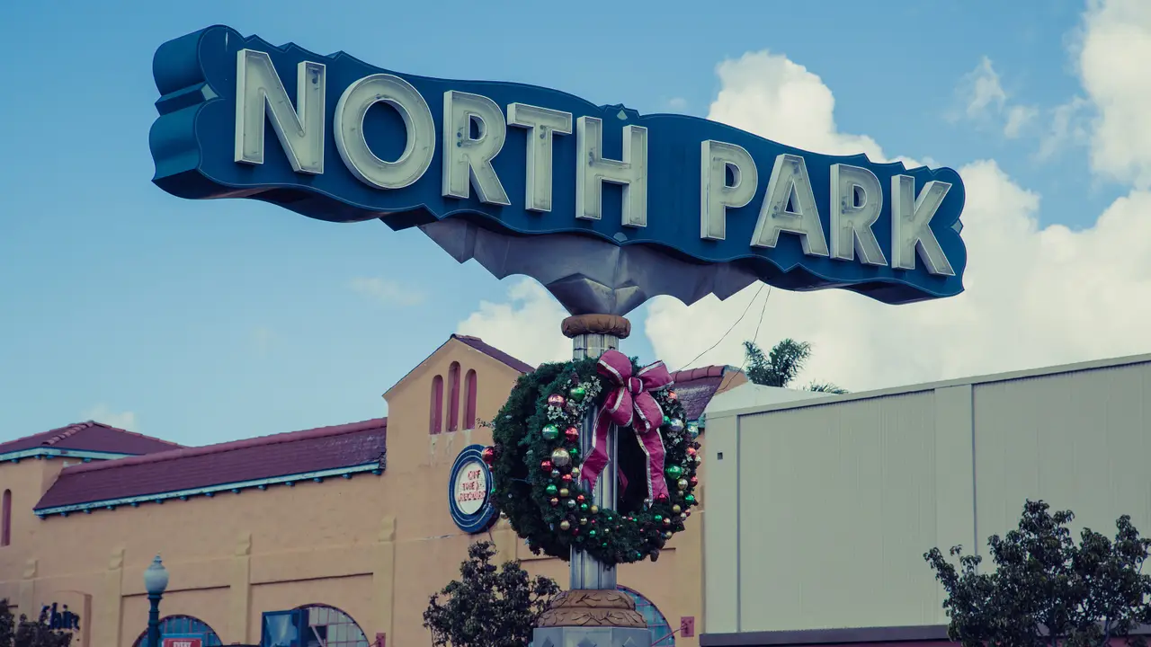
A neon sign over Adams Avenue at Felton Street identifies the neighborhood. The Adams Avenue Street Fair, a free music festival, began in 1986 and is held on Adams Avenue. A second free festival, Adams Avenue Unplugged, was held on the last weekend of April and was formerly known as the Adams Avenue Roots Festival.
What buildings stand out in Normal Heights?
A bungalow court on Adams Avenue, designed by Louis L. Gill, was first named El Sueno and is now called Santa Rosa Court. A Carmelite monastery on Hawley Boulevard was designed by architect Frank L. Hope, Sr.
The 1920s commercial block on Adams Avenue is considered a potential historic district. It is called the Carteri Center, after Benjamin J. Carteri.
What schools and community groups serve Normal Heights?
Public schools are run by the San Diego Unified School District. Adams Elementary and Normal Heights Elementary are in the neighborhood. San Diego Global Vision Academy, a public charter school, opened in 2010, and St. Didacus Catholic School is also located here.
Several volunteer groups work on local issues. The Normal Heights Community Planning Group advises the city on land use, historic properties, zoning, traffic calming, parks and libraries. The Normal Heights Recreation Council advises on parks and recreation, and Friends of Normal Heights Canyons looks after the neighborhood's canyons. The neighborhood is covered by the City of San Diego's Mid-City Communities Plan.
Find a local business in Normal Heights
Normal Heights is covered by the Mid-City & East San Diego guide. Start with the businesses in Normal Heights itself, or look across the whole guide by what they do.
Businesses in Normal HeightsQuestions about Normal Heights
- Is Normal Heights a city?
- No. It is a neighborhood within the City of San Diego, California. It was annexed to the city in 1925.
- Why is it called Normal Heights?
- The name comes from the State Normal School, a teachers college founded in 1899 in nearby University Heights.
- What are the boundaries of Normal Heights?
- Interstate 805 on the west, Interstate 8 on the north, State Route 15 on the east and El Cajon Boulevard on the south.
- What is Antique Row?
- It is the stretch of Adams Avenue between Texas Street and Ohio Street, named for its many antique stores.
- When was Normal Heights founded?
- It was officially founded in 1906, when a syndicate filed a subdivision map with the county.
- Is there a local business directory for Normal Heights?
- Yes. Normal Heights is covered by the Mid-City & East San Diego guide from Local Business America. It lists local businesses in Normal Heights and the towns around it, and it is free to read.
- How do I list my business in Normal Heights?
- Open the Mid-City & East San Diego guide and choose Claim your listing. If your business is not there yet, choose List your business. Claiming is free, and a person checks each claim.
- What does a business listing in Normal Heights cost?
- Every business has a free listing with opening hours, a map and a link to your website. Essentials is $19 a month and adds a photo gallery, an enquiry form and your Google reviews. Premium is $39 a month and adds a boost to the top of your category and a do-follow link to your website.