Local guidesMarietta, Kennesaw & SmyrnaKennesaw
Kennesaw
Kennesaw is a suburban city northwest of Atlanta in Cobb County, Georgia, with a population of 33,036 at the 2020 census.
Where is Kennesaw, and what is it like?
Kennesaw is a suburban city northwest of Atlanta in Cobb County. It stands at an elevation of 1,089 feet (332 m). Its ZIP codes are 30144 and 30152. The 2020 census counted 33,036 people, a 10.9% increase over the preceding decade.
U.S. Route 41 and State Route 3 run through the city as Cobb Parkway. The road leads 7 miles (11 km) southeast to Marietta and 17 miles (27 km) northwest to Cartersville. Downtown Atlanta is 27 miles (43 km) southeast, and Chattanooga, Tennessee, is 94 miles (151 km) northwest.
Kennesaw is in northwestern Cobb County, bordered by the city of Acworth to the northwest. Kennesaw Mountain is southeast of the city limits, inside the battlefield park, and its peaks are visible from the bridge over Interstate 75. The climate is humid subtropical. The mean daily high for the year is 72°F (22°C) and the mean daily low is 48°F (9°C). Annual average precipitation is 54.63 inches (1,388 mm), with February the wettest month and October the driest.
How did Kennesaw begin?
Kennesaw was first known as Big Shanty. Shanty towns arose to house the workers while the Western and Atlantic Railroad was built in the late 1830s. The city was incorporated on September 21, 1887, and took the Kennesaw name in that charter.
The name comes from the Cherokee word Ganisahv, which means cemetery or burial ground.
The settlement dates from the 1830s. Shanty towns arose near a big spring, and the steep railroad climb nearby became known as the big grade to the shanties. The place was known as Big Shanty from its original settlement until the 1887 charter made it Kennesaw.
What happened in Kennesaw during the Civil War?
Big Shanty was the staging ground for the Great Locomotive Chase on April 12, 1862. Union raiders took the locomotive The General there.
Camp MacDonald, a Confederate training camp, operated at Big Shanty from 1861 to 1863. Big Shanty was also the site of major fighting in the Battle of Kennesaw Mountain, part of the 1864 Atlanta campaign.
What is Kennesaw Mountain?
Kennesaw Mountain has a summit of 1,808 feet (551 m). It is the highest point in the Atlanta metro area.
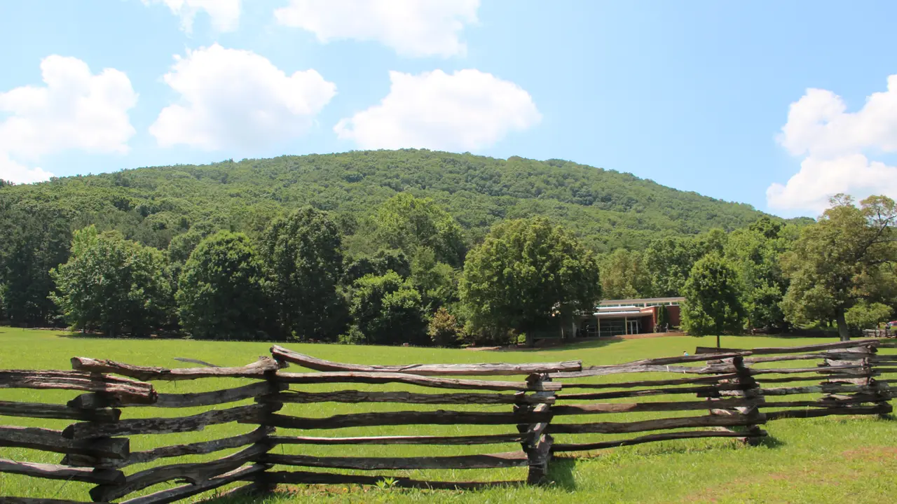
Kennesaw Mountain National Battlefield Park consists of around 18 miles (29 km) of nature trails and historic Civil War battle sites.
The park is southeast of the city limits and holds many of the Civil War areas from the Battle of Kennesaw Mountain. Some Civil War artifacts are on display in the visitor center.
What businesses and colleges are in Kennesaw?
Kennesaw is a suburban city on the Cobb Parkway corridor, with Interstate 75 close by.
Kennesaw State University is part of the University System of Georgia and is an R2 research institution.
Census counts show 1,507 people in 1960, 8,936 in 1990, 21,675 in 2000 and 29,783 in 2010. Kennesaw State University is near the city.
How do you get around Kennesaw?
Interstate 75 reaches the city at exits 269, 271 and 273. Cobb Parkway, which carries U.S. 41 and State Route 3, is the main road through town and links Kennesaw to Marietta in the southeast and Cartersville in the northwest.
What schools and services are in Kennesaw?
Public schools are run by the Cobb County School District. High schools in the Kennesaw area include Harrison, Kennesaw Mountain and North Cobb.
Kennesaw does not have its own fire department. The Cobb County Fire Department provides fire services. The city has a Parks and Recreation Department that provides public parks, facilities and recreation experiences.
Find a local business in Kennesaw
Kennesaw is covered by the Marietta, Kennesaw & Smyrna guide. Start with the businesses in Kennesaw itself, or look across the whole guide by what they do.
Businesses in KennesawQuestions about Kennesaw
- What county is Kennesaw in?
- Kennesaw is in Cobb County, Georgia.
- How many people live in Kennesaw?
- The 2020 census counted 33,036 people in Kennesaw.
- What was Kennesaw called before?
- It was first known as Big Shanty. It took the name Kennesaw in an 1887 charter.
- How high is Kennesaw Mountain?
- The summit is 1,808 feet (551 m), the highest point in the Atlanta metro area.
- Which interstate serves Kennesaw?
- Interstate 75 serves the city at exits 269, 271 and 273.
- Is there a local business directory for Kennesaw?
- Yes. Kennesaw is covered by the Marietta, Kennesaw & Smyrna guide from Local Business America. It lists local businesses in Kennesaw and the towns around it, and it is free to read.
- How do I list my business in Kennesaw?
- Open the Marietta, Kennesaw & Smyrna guide and choose Claim your listing. If your business is not there yet, choose List your business. Claiming is free, and a person checks each claim.
- What does a business listing in Kennesaw cost?
- Every business has a free listing with opening hours, a map and a link to your website. Essentials is $19 a month and adds a photo gallery, an enquiry form and your Google reviews. Premium is $39 a month and adds a boost to the top of your category and a do-follow link to your website.