Local guidesEast County San DiegoSantee
Santee
Santee is a city in the East County region of San Diego County, California, with a population of 60,037 at the 2020 census.
Where is Santee, and what is it like?
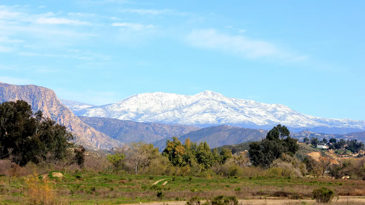
Santee is part of the East County region of San Diego County. It shares the northern part of a valley with El Cajon, and hills form a natural barrier on its northern and western sides. The city sits at an elevation of 351 feet (107 m).
The city covers 16.72 square miles (43.30 km2). Of that, 16.54 square miles (42.83 km2) is land and 0.18 square miles (0.47 km2) is water. The San Diego River crosses the city from east to west for about 4.2 miles (6.8 km). It forms a greenbelt of parks, trails and more than 1,100 acres (450 ha) of natural habitat.
The highest point is Rattlesnake Mountain, at 1,198 feet (365 m). The climate is semi-arid.
How did Santee begin?
The Kumeyaay people lived here first. They had a village named Sinyeweche on the banks of the San Diego River.
In 1877, rancher and businessman George A. Cowles bought 4,000 acres (1,600 ha) to grow grapes. The area became known as Cowlestown and was linked to the Cuyamaca Railroad. Cowles died in 1887, and his widow Jennie later married Milton Santee. She pressed to rename the town for her new husband, and in 1893 the citizens voted for the change.
How did Santee become a city?
Residents voted against becoming a city in 1977, then voted in favor in 1980. Santee was incorporated on December 1, 1980.
The city's website lists services such as building permits, public records and business licenses, and a service request page for residents.
What is there to do in Santee?
Santee has nine city parks: Big Rock, Deputy Ken Collier, Mast, Shadow Hill, Sky Ranch, Town Center Community, West Hills, Woodglen Vista and Weston. Mast Park was renovated and reopened on February 1, 2020. The city's own website lists a Parks and Recreation section with hiking and trails, dog parks and picnic shelters, and it mentions summer concerts.
Santee Lakes Recreation Preserve is a 190-acre (77 ha) park built around seven lakes filled with recycled water. It is owned and run by the Padre Dam Municipal Water District and is used for fishing, camping, bird watching and picnics.
The Walker Preserve Trail follows the San Diego River. It opened in April 2015 and runs east toward Lakeside. Carlton Oaks has an 18-hole golf course designed by Perry Dye.
How do you get around Santee?
State Route 52 was extended east through the city, from State Route 125 to State Route 67 on Santee's east side. Mast Boulevard and Mission Gorge Road run east and west, and Magnolia Avenue and Cuyamaca Street run north and south.
Santee is the northeastern end of the San Diego Trolley's Copper Line. Riders can transfer at El Cajon to the Green and Orange Lines. Metropolitan Transit System buses also serve the city. Gillespie Field, a county airport, is on Santee's southern border with El Cajon.
What schools and colleges are in Santee?
Two school districts serve Santee. The Santee School District runs the elementary and middle schools. They include Cajon Park, Carlton Hills, Carlton Oaks, Chet F. Harritt, Hill Creek, Pepper Drive, Pride Academy, Rio Seco and Sycamore Canyon. The Grossmont Union High School District runs the two high schools, West Hills High School and Santana High School.
San Diego Christian College moved to Santee from El Cajon in early 2013. It offers degree programs.
Find a local business in Santee
Santee is covered by the East County San Diego guide. Start with the businesses in Santee itself, or look across the whole guide by what they do.
Businesses in SanteeQuestions about Santee
- How many people live in Santee?
- The 2020 census counted 60,037 people in Santee.
- Where does the name Santee come from?
- The town was first called Cowlestown, after George A. Cowles. His widow Jennie married Milton Santee, and the town was renamed for him in 1893.
- When did Santee become a city?
- Santee was incorporated on December 1, 1980, after voters turned down the idea in 1977.
- Does the trolley go to Santee?
- Yes. Santee is the northeastern end of the San Diego Trolley Copper Line, which connects to El Cajon.
- What river runs through Santee?
- The San Diego River crosses the city from east to west for about 4.2 miles (6.8 km).
- Is there a local business directory for Santee?
- Yes. Santee is covered by the East County San Diego guide from Local Business America. It lists local businesses in Santee and the towns around it, and it is free to read.
- How do I list my business in Santee?
- Open the East County San Diego guide and choose Claim your listing. If your business is not there yet, choose List your business. Claiming is free, and a person checks each claim.
- What does a business listing in Santee cost?
- Every business has a free listing with opening hours, a map and a link to your website. Essentials is $19 a month and adds a photo gallery, an enquiry form and your Google reviews. Premium is $39 a month and adds a boost to the top of your category and a do-follow link to your website.