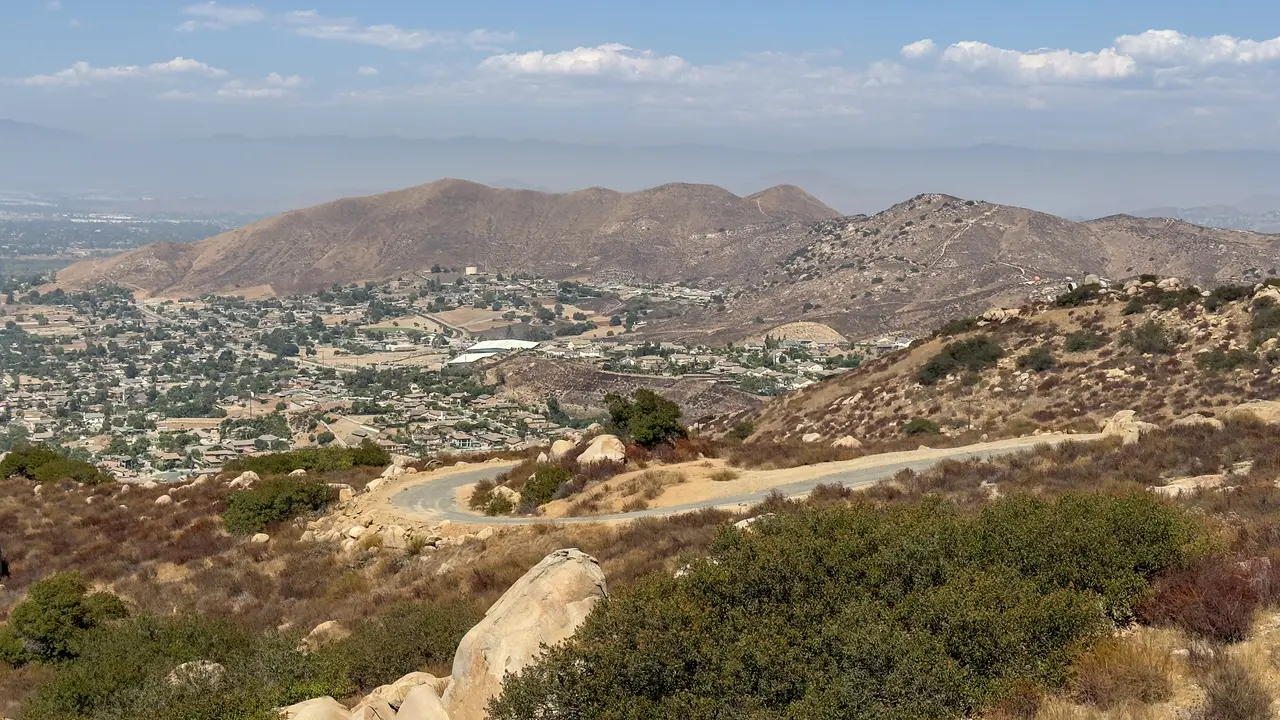
Local guidesCorona, Norco & EastvaleEastvale
Eastvale
Eastvale is a city in northwestern Riverside County, California, incorporated in 2010, with a population of 69,757 at the 2020 census.
Where is Eastvale, and what is it like?
Eastvale is in northwestern Riverside County, in the Inland Empire of Southern California. Hellman Avenue marks the western edge and State Route 60 the north. The Santa Ana River and Norco lie to the south, and Interstate 15 is the eastern boundary. The elevation is 627 feet (191 m).
The 2020 census counted 69,757 people. The 2010 census counted 53,668, so the population grew by 30.0 percent in ten years. The city covers 13.12 square miles (33.97 km2).
The climate is Mediterranean. Winter days are around 65 °F and summer highs average in the low 90s. The record high is 115 °F (46 °C) and the record low is 22 °F (-6 °C). Annual rainfall averages 14.65 inches (372 mm).
How did Eastvale begin?
In 1838 the Mexican governor Juan Alvarado granted Rancho Jurupa, about 48 square miles, to Juan Bandini. Eastvale covers roughly the westernmost quarter of that grant. The Fuller family later owned about 6 square miles of ranch land here, from 1889 to 1954.
For most of its history the area was rural. Eastvale was mostly dairy farms and farmland until the late 1990s.
How did Eastvale become a city?
From the late 1990s, new housing drew residents from Orange and Los Angeles counties. The area grew quickly as a result.
An incorporation committee gathered enough signatures to put the question on the June 8, 2010 ballot. Measure A passed, with 65.8 percent of voters approving incorporation. Eastvale was incorporated on October 1, 2010.
What businesses and employers are in Eastvale?
The city's 2023 annual financial report lists its biggest employers by number of workers. They are the Amazon Fulfillment Center LGB3 with 4,918, the Walmart Distribution Center with 952, the Corona-Norco Unified School District with 755, Costco with 333, Ingram Micro with 303 and Grainger with 250.
Most of the large employers on the list are warehouses and distribution centers, plus the school district and one retailer.
How do you get around Eastvale?
The city sits between several major roads. It is roughly bounded by Interstate 15 and State Routes 91, 60 and 71. That position makes it a commuter town for nearby Los Angeles and Orange counties.
Riverside Transit Agency Route 3 runs between Eastvale and the Corona Transit Center, through Norco. Most phone numbers in the city use the 951 area code, and some residents have kept 909.
What schools and community events are in Eastvale?
The vast majority of Eastvale is in the Corona-Norco Unified School District. A portion in the east is in the Jurupa Unified School District.
Corona-Norco elementary schools in the city include Clara Barton, Harada, Ronald Reagan, Rosa Parks, Eastvale Elementary, Rondo School of Discovery and Academy of Innovation. The intermediate schools are River Heights and Dr. Augustine Ramirez. Eleanor Roosevelt High School is the high school.
Community events listed for the city include the Eastvale Picnic in the Park and the Eastvale Fall Festival. Check the city's website for current dates.
Find a local business in Eastvale
Eastvale is covered by the Corona, Norco & Eastvale guide. Start with the businesses in Eastvale itself, or look across the whole guide by what they do.
Businesses in EastvaleQuestions about Eastvale
- When was Eastvale incorporated?
- Eastvale was incorporated on October 1, 2010, after Measure A passed with 65.8 percent of the vote.
- How many people live in Eastvale?
- The 2020 census counted 69,757 people. The 2010 census count was 53,668.
- What was Eastvale before it was a city?
- It was mostly dairy farms and farmland until the late 1990s, and part of the 1838 Rancho Jurupa grant.
- Which school district is Eastvale in?
- Most of Eastvale is in the Corona-Norco Unified School District. A portion in the east is in the Jurupa Unified School District.
- What are the main roads around Eastvale?
- Interstate 15 is the eastern boundary and State Route 60 is the northern boundary. State Routes 91 and 71 are nearby.
- Is there a local business directory for Eastvale?
- Yes. Eastvale is covered by the Corona, Norco & Eastvale guide from Local Business America. It lists local businesses in Eastvale and the towns around it, and it is free to read.
- How do I list my business in Eastvale?
- Open the Corona, Norco & Eastvale guide and choose Claim your listing. If your business is not there yet, choose List your business. Claiming is free, and a person checks each claim.
- What does a business listing in Eastvale cost?
- Every business has a free listing with opening hours, a map and a link to your website. Essentials is $19 a month and adds a photo gallery, an enquiry form and your Google reviews. Premium is $39 a month and adds a boost to the top of your category and a do-follow link to your website.