Local guidesSan DiegoMission Hills
Mission Hills
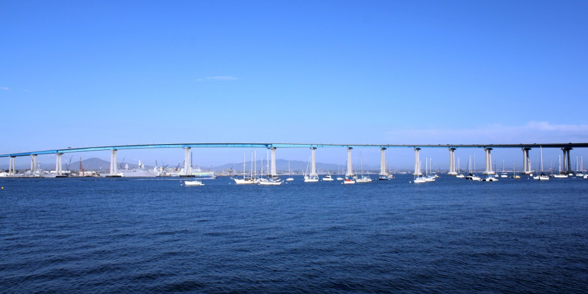
Mission Hills is a mostly residential San Diego neighborhood on hills north of downtown, overlooking downtown, Old Town and San Diego Bay.
Where is Mission Hills, and what is it like?
Mission Hills sits on hills just south of the San Diego River valley and north of downtown and San Diego International Airport. From there it looks down on downtown, Old Town and San Diego Bay. The area is mostly homes, with boutique shops and restaurants along Washington Street, in the West Lewis Shopping District and in a few other clusters.
The city splits it into North Mission Hills and South Mission Hills along Washington Street. The north half lies east of Old Town, west of Dove Street and Hillcrest, and south of Mission Valley. The south half covers older subdivisions such as Middletown and Marine View. Mission Hills shares the 92103 zip code with Hillcrest and belongs to San Diego's Uptown community planning area.
How did Mission Hills develop?
The oldest parts were subdivided under George Marston's 1908 plan, and most of the houses still date from 1908 to 1930. Styles include vernacular, Craftsman, Prairie School and Spanish Colonial Revival. Many were designed by well-known San Diego architects, including William Hebbard, William Templeton Johnson, Emmor Brooke Weaver, Nathan Rigdon, Richard Requa and Joel E. Brown. Builders such as the Pacific Building Company, Morris B. Irvin and Martin V. Melhorn handled the vernacular homes. Irving Gill, San Diego's most famous architect, never built here, since by then he was mostly working in Los Angeles County.
A streetcar shaped the layout. From 1910 to 1939 the San Diego Electric Railway's line 3, the Fort Stockton line, connected the neighborhood to the city, and small clusters of shops still stand where the stops were. The original commercial district is around Washington and Goldfinch streets, where a 1913 Classical Revival building and a 1929 Spanish Colonial Revival building were renovated as the Paseo de Mission Hills complex, with a historic Mission Hills sign. Modern masters including Lloyd Ruocco, Homer Delawie, John Lloyd Wright and Sim Bruce Richards added modern homes along canyon rims during the 1950s and 1960s. The horticulturalist Kate Sessions also shaped the neighborhood and founded a nursery in 1910 that is still active.
Who was Kate Sessions, and what did she do in Mission Hills?
Katherine Olivia Sessions was a botanist, horticulturalist and landscape architect, and people call her the Mother of Balboa Park. She was born in San Francisco, studied natural science at the University of California, Berkeley, and graduated in 1881. In 1883 she moved to San Diego to teach eighth grade and serve as vice principal at Russ School. She left after a little more than a year because of health problems, and turned to plants instead.
In 1885 she bought a nursery. Within a few years she owned a flower shop and had growing fields in Coronado, Pacific Beach and Mission Hills. The Mission Hills Nursery, which she founded in 1910, is still in operation. She sold it in 1926 to her employees, the Antonicelli brothers. Her brother Frank, her only sibling, helped start the first poinsettia nursery in Mission Hills.
Her larger mark is on Balboa Park. In 1892 she leased 30 acres of what was then City Park to use as growing fields, and in return agreed to plant 100 trees a year in the mostly barren park and 300 trees a year elsewhere in San Diego. Almost all the older trees still seen in the park were planted by her. She is credited with importing and popularizing the jacaranda in the city, and with co-founding the San Diego Floral Association in 1907 with Alfred D. Robinson. It is the oldest garden club in Southern California. She also helped organize the city's first Arbor Day celebration in 1904.
Sessions died on March 24, 1940, at the age of 82. In 1939 she had become the first woman to receive the Frank N. Meyer medal of the American Genetic Association. A bronze statue of her, dedicated in 1998, stands in Balboa Park near the Sixth Avenue entrance. In 2006 the Women's Museum of California inducted her into the San Diego County Women's Hall of Fame.
What are the streets, parks and schools like?
University Avenue and Washington Street are the main business streets, with Fort Stockton Drive and Sunset Boulevard as other major roads. Cross streets running north to south are named for birds in alphabetical order, from Albatross to Lark. The city recognizes two historic districts here, the Fort Stockton Line Historic District and the Mission Hills Historic District.
Pioneer Park and Mission Hills Park are the two neighborhood parks. Two canyons are open for hiking, Robyn's Egg Trail and the Allen Road Canyon Trail. In January 2019 a new 14,000-square-foot Craftsman-style library, the Mission Hills-Hillcrest/Harley and Bessie Knox Library, opened at Washington and Front streets in Hillcrest.
Public schools belong to San Diego Unified School District. Ulysses S. Grant Elementary School serves grades K to 8. With no public high school in the neighborhood, students can choose Point Loma High School or San Diego High School. The best-known private school is the lower campus of the Francis Parker School, founded in 1912 on progressive ideals by William Templeton Johnson and his wife, Clara. He designed the first building, and she ran the school.
What is Pioneer Park in Mission Hills?
Pioneer Park, also called Mission Hills Park, was a cemetery first. Calvary Cemetery was the second Catholic cemetery in San Diego, opened when the city had a population of only 250. The first was El Campo Santo in Old Town. When that one began to fill up, the Roman Catholic Diocese of San Diego bought the land on top of Pringle Hill in October 1873 and formally established the cemetery in 1876.
After Holy Cross Cemetery opened in 1919, Calvary fell into disrepair. A fire in 1939 destroyed the caretaker's building and many of the burial records. A state law passed in 1957 let cemeteries that endangered public health, safety, comfort or welfare, and had fewer than 10 burials in five years, be officially abandoned. The cemetery was poorly kept and often visited by vandals and motorcyclists, so the city began converting it into a park in 1961. By 1968 the job was done.
Most headstones were moved to Mount Hope Cemetery, but over 800 bodies remain under the grounds. The park keeps a memorial row of preserved headstones, a children's playground and, across the street, tennis courts. Members of the Bandini family are among the prominent people buried there.
How does Presidio Park connect to Mission Hills?
Presidio Park is a city historic park of about 40 acres above Old Town, with views of the city, the San Diego River valley and the Pacific Ocean. The San Diego Presidio and the San Diego Mission, the first European settlements in what is now the West Coast of the United States, were founded on this site in 1769. The mission moved a few miles upriver in 1773, while the fort stayed on Presidio Hill. People preferred to live in Old Town at the foot of the hill, and the fort was in ruins by 1835. The United States Army later set up Fort Stockton in the old fort during the Mexican-American War, and the site is California Historical Landmark No. 54. Mission Hills has a Fort Stockton Drive and had a Fort Stockton streetcar line.
George Marston, whose 1908 plan laid out the oldest part of Mission Hills, bought Presidio Hill in 1907 to preserve the historic site. The city would not fund it, so he built a private park, planned by architect John Nolan. It includes the Serra Museum, designed by William Templeton Johnson, who also designed the first Francis Parker School building. The museum opened in 1925, and Marston gave the park to the city in 1929.
The Junipero Serra Museum shows archaeological finds, historic objects and reference materials on Spanish colonization and early California, with programs on the Spanish, Mexican and indigenous heritage of the region. It was the first home of the San Diego Historical Society, which Marston founded in 1929. The group is now the San Diego History Center and moved to Balboa Park in 1982. The spot where Junipero Serra planted a palm tree on arriving in 1769 is a California Historical Landmark, and a fenced area encloses the foundations of the chapel and walls.
Find a local business in Mission Hills
Mission Hills is covered by the San Diego guide. Start with the businesses in Mission Hills itself, or look across the whole guide by what they do.
Businesses in Mission HillsQuestions about Mission Hills
- What are North and South Mission Hills?
- The City of San Diego divides the neighborhood along Washington Street, with North Mission Hills above it and South Mission Hills below.
- What zip code is Mission Hills?
- Mission Hills shares the 92103 zip code with Hillcrest.
- What public high school do Mission Hills students attend?
- There is none in the neighborhood. Students can choose Point Loma High School or San Diego High School.
- Who was Kate Sessions?
- She was a San Diego horticulturalist known as the Mother of Balboa Park. She founded the Mission Hills Nursery in 1910, and it is still in operation.
- What was Pioneer Park before it was a park?
- It was Calvary Cemetery, a Catholic burial ground established in 1876. It became a park in 1968, and over 800 bodies remain beneath it.